Figure 5
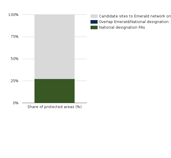
Figure 5 - The spatial complementarity between European desgination (Emerald Network- candidate site) and national desginations by share of terrestrial area (2018)
RichTextValue object. (Did you mean .raw or .output?)