First training on CORINE Land Cover (CLC) methodology in Ukraine
| When |
Sep 25, 2018
to
Sep 27, 2018
|
|---|---|
| Where | Kyiv, Ukraine |
| Contact Name | György Büttner |
| Type | |
| Level | |
| Registration | Not available |
| Hosting organisation | Ministry of Ecology and Natural Resources of Ukraine |
| Countries | Ukraine |

(text updated after the training)
Corine Land Cover (CLC) datasets have provided a time series of land cover and land use information across Europe since 1990. These data sets allow monitoring changes to the Earth’s surface that result from the interaction of natural processes and human activities.
Activity 2.3 of the ENI SEIS II East project ‘Pilots on extending CORINE Land Cover (CLC) methodology to areas of the partner countries’ is a step to facilitate access to and use of some spatial data required for implementing SEIS at national level. The objective of the training is to support the production of a CLC status data set by computer-assisted photo-interpretation of satellite images and reference data. The work in Ukraine runs in parallel with the 2018 update of the CLC layers in the 39 member and cooperating countries of the EEA.
The training was led by experts from the European Topic Centre on Urban, Land and Soil Systems (ETC/ULS) in partnership with the Copernicus programme, the joint EU and European Space Agency initiative for long-term sustainable capacity building in Earth observation from space. Experts from the Ministry of Ecology and Natural Resources of Ukraine, the State Research and Production Center (Pryroda), the National University of Life and Environmental Sciences and the State Space Agency of Ukraine took part in the training.
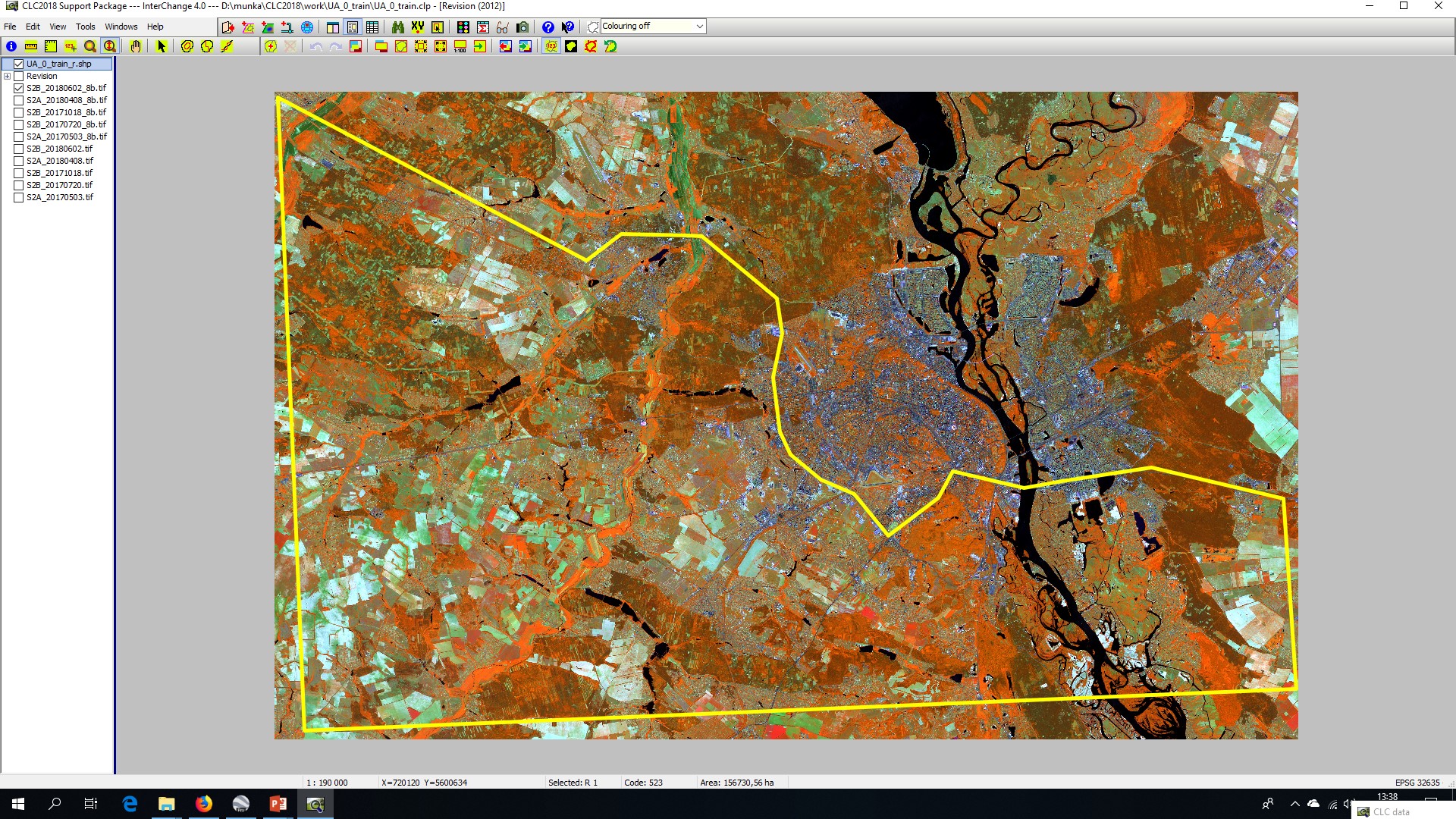
The west and south suburbs of Kiev were selected by the national authorities as the pilot area to be mapped using the CLC methodology and thereafter to map land cover changes over a period of time (see figure below).